Admission Helpline
1800-8899-022
0657-223-3022
24x7 Helpline
1800-8899-022
+91 87095 55032
1800-8899-022
0657-223-3022
1800-8899-022
+91 87095 55032
HOD (Department of Geography)
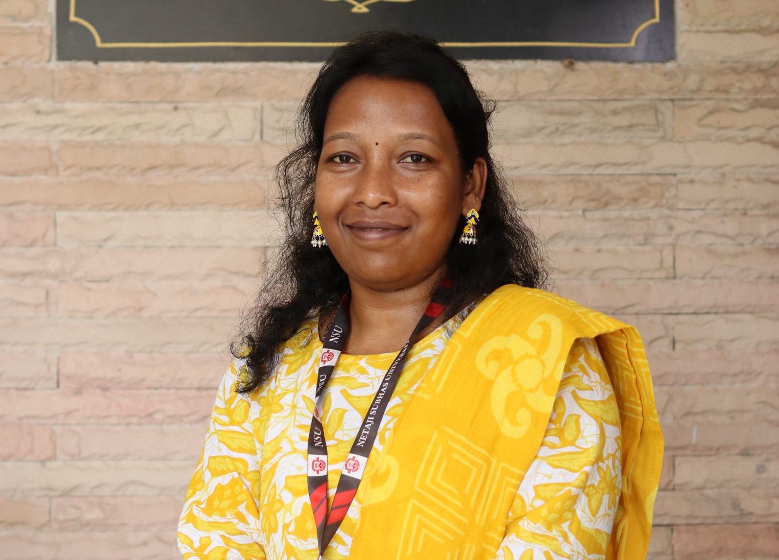
With an M.Phil in Applied Geography and research interests in GIS and Rural Development, I bring a unique blend of 3 years of teaching experience as an Assistant Professor and 8 years of industrial expertise in GIS and Photogrammetry. My industrial background includes working on diverse utility projects utilizing Cartosat and LISS-IV imagery, where I gained hands-on experience in cutting-edge geospatial technologies.
As a research scholar at ORSAC, I worked on a project titled “GIS-based Road Database using Satellite Images,” contributing to innovative solutions in geospatial analysis. My research efforts also include a publication titled “Sustainable Development using GIS” in the Journal of Energy Research and Environmental Technology.
I am passionate about advancing the field of GIS and inspiring students to explore its applications in rural development and sustainable planning, preparing them for impactful careers in geospatial science and technology.